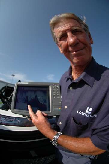
Editor’s note: This is the second of a series by Wilson Frazier covering every aspect of how to use, and get more out of, your electronics. Frazier is one of the leading experts in the industry on the setup and use of electronics. For more information, visit his website.
Part 1: Basic GPS
GPS, or Global Positioning System, is nothing more than a system to measure where you are on the earth’s surface. It uses a minimum of three satellites to mark your position by longitude and latitude.
Most modern units have a 12 channel capacity. That means they can mark your position with incredible accuracy. That accuracy is only useful, however, if you know and understand where you’re marking.
A lot of GPS units nowadays have built-in antennas. If you’re using one of them, remember that it’s marking where the antenna is located, usually at the front of the boat or at the console. If you’re using a mounted transducer, it’s marking from wherever it’s mounted. A lot of anglers get into trouble by not understanding what that means.
Its most notable effect is when you’re using a split screen — one chart and one sonar — while marking waypoints. If your GPS antenna and your sonar transducer are not together you’ll have a built in error of however far apart they are.
For example: let’s say that one’s in the front of the boat and the other’s in the back of the boat. The error will be 20 feet before you start to mark a waypoint. Add to that a little time delay in marking a waypoint, and you can see that it’s easy to miss a spot by 40 or 50 feet.
That might not be a big deal if you’re running to a long point that’s easy to see, but it’s too much when you’re trying to find a small rock pile or an isolated stump. Your sonar and your GPS need to be coordinated, or you need to know how far apart they are, and you need to learn to be quick.
Once you mark a waypoint you’ll want to come back to it from a different location. The easiest way to do that is to place the center of your cursor over the waypoint at the closest zoom and then zoom back out until you can see both your boat and the waypoint.
When you get fairly close, pull your boat around until you’re following either the vertical or the horizontal dotted line on your screen. Move along the waypoint just like an airplane would drop down on a runway, and think of the waypoint as an off-ramp to the taxiway. It’s easier to follow a black line across your screen than it is to cross open water and stay on heading.
As you zoom in, pay close attention to your zoom rate at the bottom of your screen. It tells you how far it is across your screen. A zoom rate of 1 mile is 5,280 feet, but a zoom rate of .01 mile is only about 53 feet. This’ll help you move to within casting distance of your target but not run over it.
A failure to understand and work with zoom rate is the primary reason why so many anglers miss their waypoints. Use and trust your unit. Don’t “eyeball” it. Judging distance across water accurately is almost impossible.
Note: Working with waypoints is a complicated subject. We’re limited by space in this article, and we’ve only covered the basics. For a complete explanation of the subject I suggest you check out my instructional DVD series. It’s available at www.itainttv.com.
Pro Angler Tip: Elite Series angler Mark Menendez points out that all the pros use their chart page just about all the time. They don’t do that so they can find their way back to the ramp. They do it so they know, sometimes within a foot or two, of exactly where they’re at on the reservoir, lake or river in relation to the surrounding structure.
They want to know how far it is from one channel swing to the next channel swing, and exactly how far those channel swings are from some other structure.
Next time we’re going to cover tweaking your unit.


