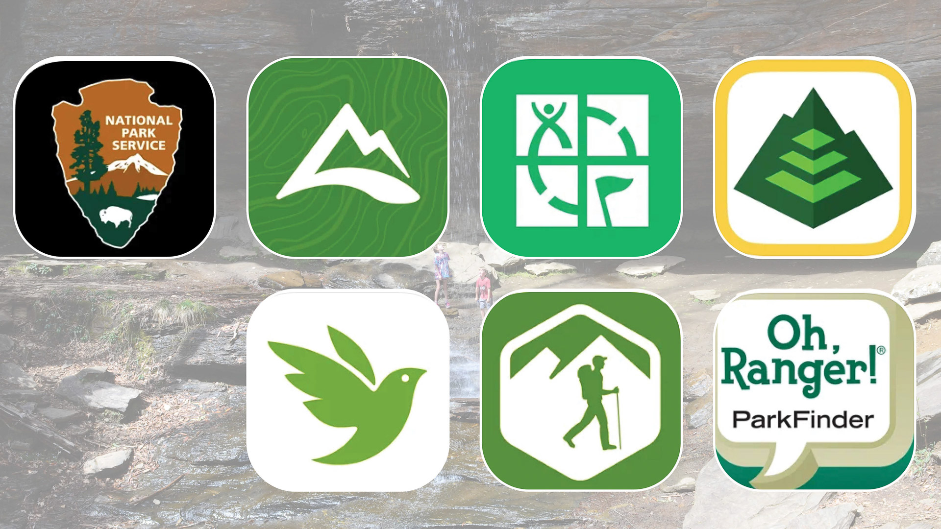
Whether I am on a hike close to home or miles from home, I have come to rely on apps for knowledge and safety. These are the top seven apps in my arsenal that I use most when I am out on the trails.

AllTrails
If you are looking for solitude on a hike, the difficulty of a trail or the most popular routes in a certain area, AllTrails is a great app to have at your fingertips. With over 200,000 trails, this app offers info on elevation gain, local weather, personal beta about trail conditions and more. You can even record and navigate your own hike with the app. Add your own photos, reviews and tracks post-hike to help out fellow trekkers. You can find additional info, including dog parks, bike routes, backcountry ski runs, snowshoe routes and more. This is my go-to app to check on trail conditions, trail closings and more. You can download for iOS or Android for free with in-app purchases.

Gaia GPS
Gaia GPS helps you plan and record hikes for free using Gaia Topo. It also provides reports on air quality and fires — important info when you do much of your hiking out West. With membership, you can download and print maps worldwide, whether you are looking for satellite, road or topo maps, making it a perfect app for locating campsites, hunting and exploring backroads. You can find versions for both Android and iOS.

Geocaching.com
More reliable than a GPS unit, Geocaching.com is the most popular app for finding caches. The free version is a great place to start; we found small caches close to home when we were just getting into this activity. You can always upgrade to the paid version if you find your family continues to enjoy the hunt. We always make sure to have the app running on hikes to see if we can find any hidden gems in the woods. The app is available for iOS and Android.

Hiking Project
If you are looking for trail information or the perfect hike close by, Hiking Project is a great and free app to have at your fingertips. The app has approximately 75,000 trails added by hikers. Keep track of hikes you have completed, see reviews and beta from other hikers and upload pictures, too. Participate with your own reviews and ratings of hikes and upload information on trail conditions and more. I enjoy the personal information from outdoor enthusiasts who are out there exploring when I am choosing between trails, and I enjoy sharing my own information, too. Hiking Project is available for iOS and Android. Additional apps include Mountain Project for climbers, MTB Project for mountain bikers and Powder Project for skiers.

National Park Service App (NPS App)
With access to information about more than 400 national parks in the U.S., the NPS app is the perfect tool for planning your trip and maximizing your time at each national park you visit. Beyond finding popular and off the beaten path hiking trails, you can also see other important info, including eruption times for Yellowstone’s geysers and where animals have been spotted within a park. The interactive maps have been really helpful for us in locating things to see and traffic jams to avoid. We also have used the app to see amenities within each park, information on hours and current restrictions. Be sure to download this app on iOS or Android before you visit your next national park. Offline downloading is not 100% reliable, so you may want to download maps and other pertinent info before visiting.

Oh, Ranger! ParkFinder
If you are looking for information on federal public lands, wildlife refuges, state parks or national forests, then the free Oh, Ranger! ParkFinder app is one you should add to your phone. You can search by region and input activity interests from a list of 20 common activities, including fishing and hiking. This app will pull up comprehensive information on places to go within the region to enjoy your favorite activities, including driving directions, important phone numbers and more. We have even used the app to find suggestions for camping. The app is available for iOS and Android.

Seek by iNaturalist
If you have trouble distinguishing between a dog print and a mountain lion print (like I often do) or are interested in learning more about identifying plants and animals, then Seek by iNaturalist should be in your hiking app arsenal. Using a map, you can see what animals and plants are native to the area. This app has been helpful for those times when my daughter asks about a particular wildflower or animal print. Use the Seek Camera to photograph what you see, and the app will help you identify it. Earn badges for observing new species and try out monthly challenges to get you exploring more. You can even participate in Citizen Science. The app requires no registration to use. You can download this app on Android or iOS.


