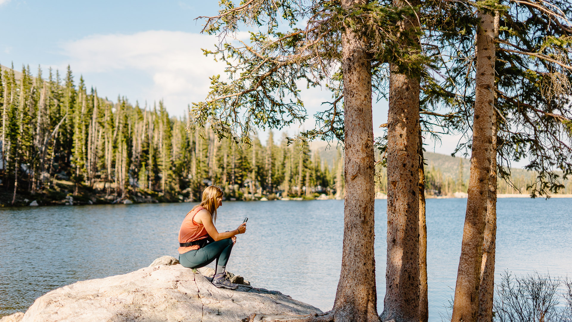

The first step in any great adventure is picking a trail. Whether you are going out with your whole family or on a solo trip, you want to be as well-equipped as possible. This includes knowing details about your chosen route, the weather forecast, recent conditions and much more. Luckily for us, the AllTrails app provides all this information in a user-friendly and efficient manner. I use it to plan all my adventures, whether I am hiking, backpacking, cross-country skiing or fishing. AllTrails gives me all the options and knowledge I need to feel prepared.
AllTrails as a company was founded on the belief that nature makes us all the best version of ourselves, and it promotes safe, responsible and respectful recreation. The company teams up with and contributes to many organizations that increase access and protect the great outdoors. Its mission is “to kindle the spirit of adventure.” I don’t know about you, but that makes me want to get outside and enjoy this beautiful world. AllTrails has created a downloadable cellphone app, as well as a website, that is designed to connect you to nature no matter where you live. Once you have downloaded the free app, it allows you to find recreation areas that are suited to your desires through the use of filters.

Using AllTrails
The first thing you will need to do is download the AllTrails app on your device. I start by searching for a location on the home screen. You can search by city, town, state park, regional park, national park or an exact trail name; I usually search by park or city for the widest variety of trails within a set radius. If you prefer to search by looking at a map, you can select the map view option, which allows you to scan the area and see your options. Regardless of whether you input a city or use map view, you will likely see a long list of options initially. This is where you can add filters and narrow down your search. Some of the most helpful filters are activity type (such as hiking, mountain biking, backpacking or skiing), distance, elevation gain, difficulty, dog-friendly, kid-friendly, wheelchair-accessible, paved vs. unpaved, route type (loop or out-and-back), trail traffic (heavy, moderate or lightly trafficked) and attraction type (this list is expansive, including waterfall, lake, wildlife, historic sites and views). The beauty of these options is you can select as many or as few filters as you wish. Once you select the desired filters, your list will likely be much shorter than the initial one. If you realize you narrowed your options too much, you can adjust filters at any point in the process. From here, you can browse the trails that fit your criteria; if you click on the trail from the list or map, it will bring you to a more detailed page that lists the trail specifics: Matching filters and features of the trail, the weather, any important information about the area or trail, recent reviews and a map.
I picked my trail — now what? Once you have picked your trail, you can use the app to gather all the information you need to be prepared. The trail page includes distance, elevation gain and route type. It also includes the average time it takes people to complete it. This can help you estimate if it is doable for you and your group, as well as how much food, water and other supplies to bring. As you scroll down, you will first see all the filters and features of the trail. This is helpful to make sure all your filters were captured, such as dog-friendly or stroller-accessible. You will then see the map. You can click “view my map” to see a topographic map that will show your location on the trail as you hike. If you have AllTrails Pro (see below for more details on AllTrails Pro), you can also download the map for offline use. You will then see a description section. This area provides important information such as seasonal closures, reservation information and other helpful tips, like parking information. Next you will see the weather section. This weather is based on the nearby area, but I have found it to be relatively accurate. You can also see the UV index and the times of sunrise and sunset. Following this are reviews, which can be a very important piece of planning. You can filter by newest first, which allows you to see recent trail conditions and others’ experiences on the trail. If it is a quieter trail with no recent reviews, I often scroll back and try to find a review from a similar time of year. In the reviews section, you will also find photos of the hike. There is a lot of information on this page to help you plan your hike and feel prepared. I often narrow it down to a few options and then deep dive into each one and find the best fit with more detailed information. Once you have decided on an adventure plan and reviewed all the relevant information, you are ready to get outside and enjoy!

AllTrails Pro
The AllTrails app is free to download. It is also free to use through the website. With the free version, you have all the searching and saving capabilities. You also have access to all the filters discussed above and are able to create your own lists and saved hikes. Once you are in the app, you have the option to upgrade to AllTrails Pro. AllTrails Pro allows you to download maps in case you don’t have cellphone service on your hike. It can also give you notifications if you take a wrong turn while tracking a hike. It has some additional map features, is ad-free and gives back 1% to nonprofit organizations working to protect the planet. You can start with a free trial to test it out. After the free trial, the subscription is $2.50 per month or $29.99 per year. For me, this cost is absolutely worth it because of how frequently I use it. I hike multiple times a week and often hike solo. Having a map downloaded gives me peace of mind that I won’t get lost in the woods or on top of a mountain!


