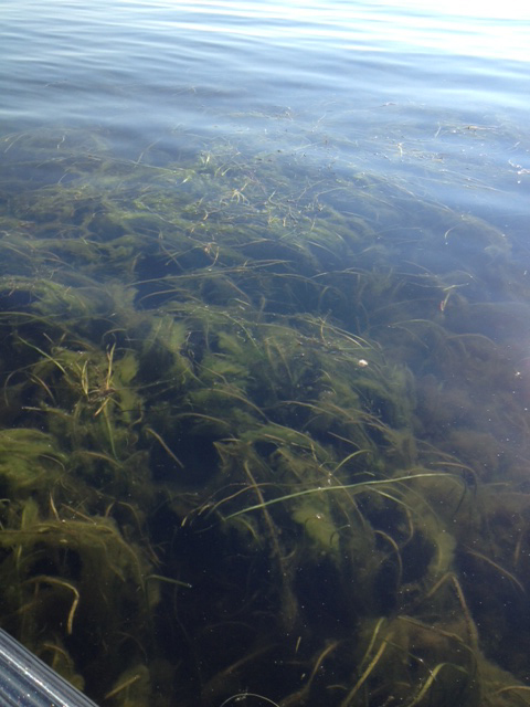
The Erie Canal is on both ends of Oneida Lake. Back in the day, when they were digging the canal, they’d dump the soil into Oneida. So there are sections of the lake labeled “dumping grounds” on the map. These are now shallow areas of the lake.
The grass in the photo is on the dumping ground between Frenchman’s Island and Dunham Island. Look at a satellite photo of the lake, and you’ll see bars on the bottom of the lake in many areas. These are the dumping grounds for the Erie Canal.


