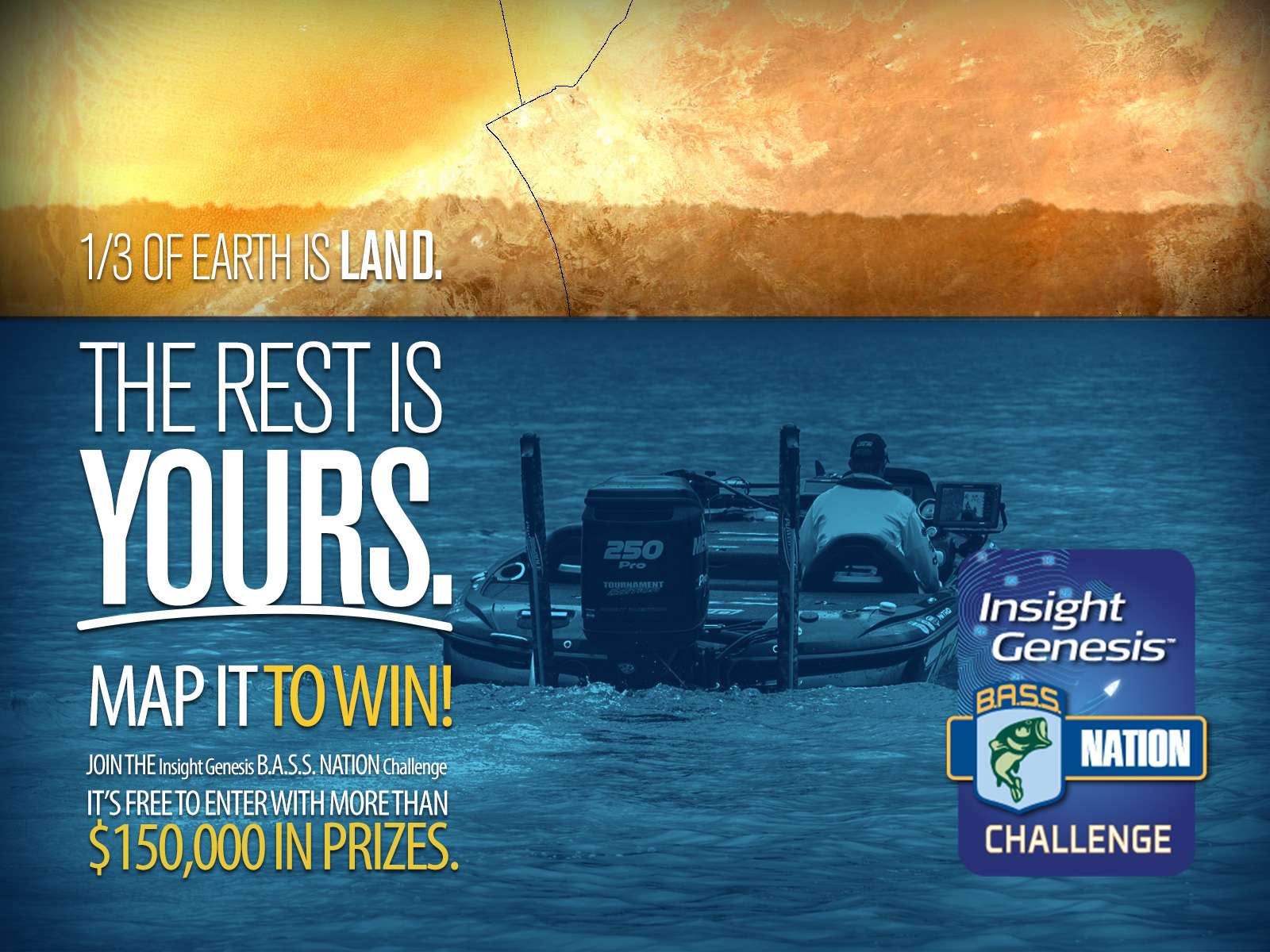
TULSA, Okla. — Lowrance, a world-leading brand in fishing electronics since 1957, announced today its Insight Genesis™ B.A.S.S. Nation Challenge. (See brochure for complete details.) Starting April 1 and continuing through December 31, 2014, the free contest is open to all B.A.S.S. Nation members. Monthly and annual awards will be given to individuals, as well as B.A.S.S. Nation clubs and state associations that upload the most acres of sonar recordings from a compatible* Lowrance fishfinder/chartplotter. The Insight Genesis B.A.S.S. Nation Challenge is a great way for anglers to win the latest Lowrance technology, while helping to improve the accuracy and coverage of high-resolution contour mapping data across the United States.
Although the contest officially starts on April 1, contestants can enter now and begin uploading sonar recordings for the monthly and 2014 annual prizes. The individual who uploads the most acres of sonar recordings between today and December 31, 2014 will win a free, expenses-paid weekend fishing trip with a Lowrance Pro Team Angler. In addition, an HDS Gen2 Touch fishfinder/chartplotter model will be awarded to first- through third-place individual fishers on a monthly basis.
Also, the B.A.S.S. Nation club that uploads the most acres of sonar recordings each month – from April to December – will win the monthly prize of $3,000 in Lowrance product, and the B.A.S.S. Nation club with the largest sonar recording total in 2014 will win $10,000 of Lowrance product.
For annual prizes, B.A.S.S. Nation state associations can win up to win $20,000 in Lowrance product – based on the annual amount of sonar logs recorded and uploaded to the Insight Genesis website. Annual state association prizes will be awarded separately to large and small state associations, based on those groups with more or fewer than 250 members.
Registration for the Insight Genesis B.A.S.S. Nation Challenge is free and open from March 13 through December 31, 2014. To enter, contestants must submit their name, email address & state affiliation to https://bassnationchallenge.lowrance.com. For more information and frequently asked questions on the Insight Genesis B.A.S.S. Nation Challenge, visit https://bassnationchallenge.lowrance.com or email BASSnationchallenge@navico.com. For more information on Insight Genesis or Lowrance, please visit insightstore.navico.com/insightgenesis or www.lowrance.com.
*Compatible Insight Genesis multifunction displays: Lowrance Elite HDI and HDS (HDS Gen2 and Gen2 Touch displays support downloaded Insight Genesis Maps on SD cards, and HDS Gen1 models can generate free custom maps for online viewing only)
About Lowrance
The Lowrance® brand is wholly owned by Navico, Inc. A privately held, international corporation, Navico is currently the world’s largest marine electronics company, and is the parent company to leading marine electronics brands: Lowrance, Simrad Yachting and B&G. Navico has approximately 1,500 employees globally and distribution in more than 100 countries worldwide. www.navico.com
About Insight Genesis
Insight Genesis™ is an exclusive tool for Lowrance, Simrad and B&G owners that allows for any user to easily to upload sonar log recordings online to have maps automatically created with contours, vegetation, and bottom hardness layers, as well as automatic tidal adjustments. A subscription to the tool adds the ability to adjust contour intervals; merge multiple uploads; overlay bottom hardness and vegetation outline layers; analyze changes over multiple recordings with trend-analysis; securely store sonar logs, maps and boaters’ critical trip and waypoint data online — accessible from any internet-connected device. Users can select to keep recorded sonar data private or to share selected trips with the Insight Genesis community. To record a sonar log, users can simply activate the standard sonar-logging feature on a compatible multifunction display* and record all subsequent sonar data to an SD card. Once recorded, the sonar log file can be uploaded to the Insight Genesis cloud service via a PC, where it is converted into a map. The chart and related sonar log can be viewed online using an embedded web viewer or downloaded for use on a compatible multifunction display.


